Meet Out Roots
The town of Ocotal is the most important municipality of Nueva Segovia in Nicaragua (Central America). It has an area of 85.23 km² and a population of 39.450 inhabitants(2000) with a population density of 372 inhabitants/Km². The town of Ocotal is known as "Sultan of the North".
Ocotal owes its name to the existence in the area of El Ocote pine tree (Pinus oocarpa). It is composed of twenty six neighborhoods that have been created until 2009, these are; José Santos Rodriguez, Sandino, Brothers Zamora, Teodoro López, Monsignor Madrigal, Jose Santos Duarte, Danilo Ponce, Yelba Maria Antunez,Annex Yelba Maria Antunez, Noel Weelock Enrique Lacayo Farfan, Annex Laura Sofia, Roberto Gomez Montalván, Laura Sofia Olives Peace, Nicarao, Leonardo Matute, September 26, Santa Ana, Carlos Manuel Jarquin, Ramon Augusto Lopez, Nora Astorga, Christ of the Rosary, New Dawn, Mary Help of Christians, Denmark, united peoples within this neighborhood are aways Cologne of the master and may 8.
Displays a grid of urban structure, typical of the cities of Hispanic America, oriented according to the cardinal points. This grid is a regular course in its central area but the alterations as geocraficas river canyon Dipilto and different depressions to the north, west and south make breaking and is erratic.
The urban area concentrates 98% of the population,Ocotal is divided into 5 districts and rural areas divided into 5 zones, located west of the municipality with a population of 546 inhabitants (2000). The 26 neighborhoods of Ocotal are grouped in 10 urban areas where population is grouped with a density that goes from 27hab/km² of the Zone 2 (neighborhood Monsignor Madrigal) until the 71hab/km² in area 3 (neighborhood Sandino. The growth rate has been 3.05 % in the last few years.
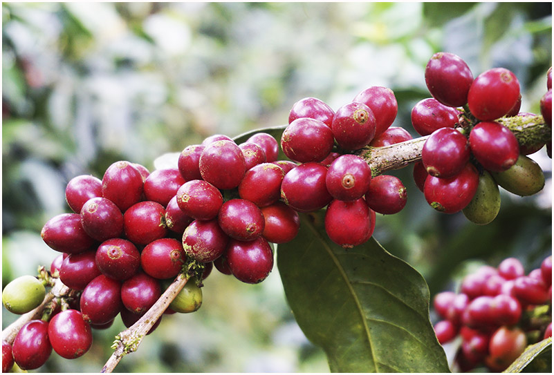
The pan-american highway that enters in Nicaragua by the passage of the hands from Honduras crosses the town which gives it access to good communications with the rest of Nicaragua. leave of Ocotal the roads linking the main towns of Nueva Segovia, as Jalapa and [Quilali]the northeast, Macuelizo and Santa Maria to the northwest. It is a center of services for your region, in obedience to their category of Departmental Head, so it has also developed a small light industry and craft that serves the needs of its inhabitants. The main agricultural production is the coffee.
The climate of Ocotal, as in the rest of the department only has 2 seasons;
WINTER: which starts in the middle of the month of May and concludes in early November, falling a rainfall average of 1.200 mm3. The temperature at this time ranges between 20 and 26 ºC.
SUMMER: This starts in mid November and ends at the beginning of May being the hottest days the months of March and April, temperatures reaching up to 30 ºC. It should be noted that the minimum temperatures are reached during the month December which drop up to 10 ºC.
Name of the municipality: Dipilto, Nueva Segovia Department.
Municipality of Dipilto was created by legislative act in the year of 1942, according to the law of Division Administrative Policy, published in Managua, the capital of the Republic of Nicaragua in October and April 1.989 1.990, dictates that: Dipilto belongs to the department of Nueva Segovia. By its surface is the smallest municipality in the region. In the village there is one of the most important geographical features of the country as is the mountain range of Dipilto and Jalapa, which on some elevations such as the volcano, located to the northwest of the village.
With the passage of Hurricane Mitch, the Municipality inherits a total transformation geophysics, infrastructure, economic, social, cultural and environmental-forest, which places us at the national level between the 8 municipalities more destroyed occupying our Municipality in second place.
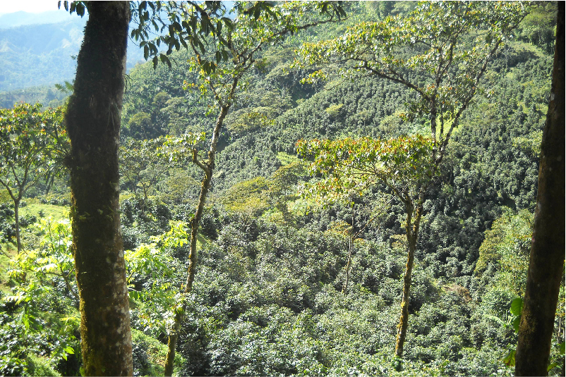
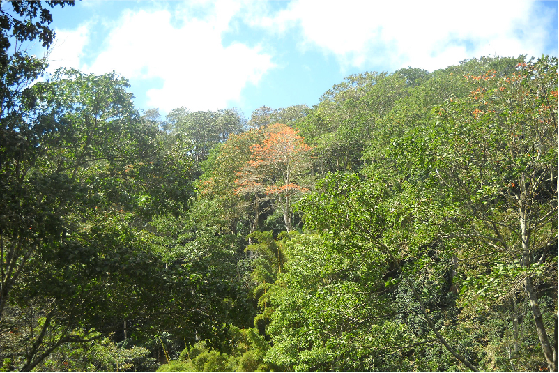
The Dipilto Mountains has an elevation of 1.700 meters with heights ranging from 1.132 meters in the Cerro white flower, up to 1.413 meters from the height of Sangarro, and the Cerro de La Picona with a height of 1.869 and 1.800 m.a.s.l. respectively. The maximum height the reaches the Closed the Mogoton, with 2.107 meters above sea level of elevation that constitutes the highest summit of the national territory. There are some plains of very limited extent, as the old Dipilto, Plan Big, Santa Lucia and White House. The generality of the mountains offers the show admirable and attractiveness of their pine woods, which embellish the municipal region.


 1
1 2
2 3
3 4
4 5
5 6
6 7
7 8
8